If you have ever gone to the countryside in the Czech Republic or picked up a tourist map (printed or here at www.mapy.cz), you have probably found that the whole area is literally dotted with tourist hiking trails. Markings. Colours. Signposts. Czech tourist markings are simple, well thought out and over 130 years old. Where did the first ones lead, what did they look like then and now, how many are there in total and what do their colours indicate?
The origins of Czech tourist trails
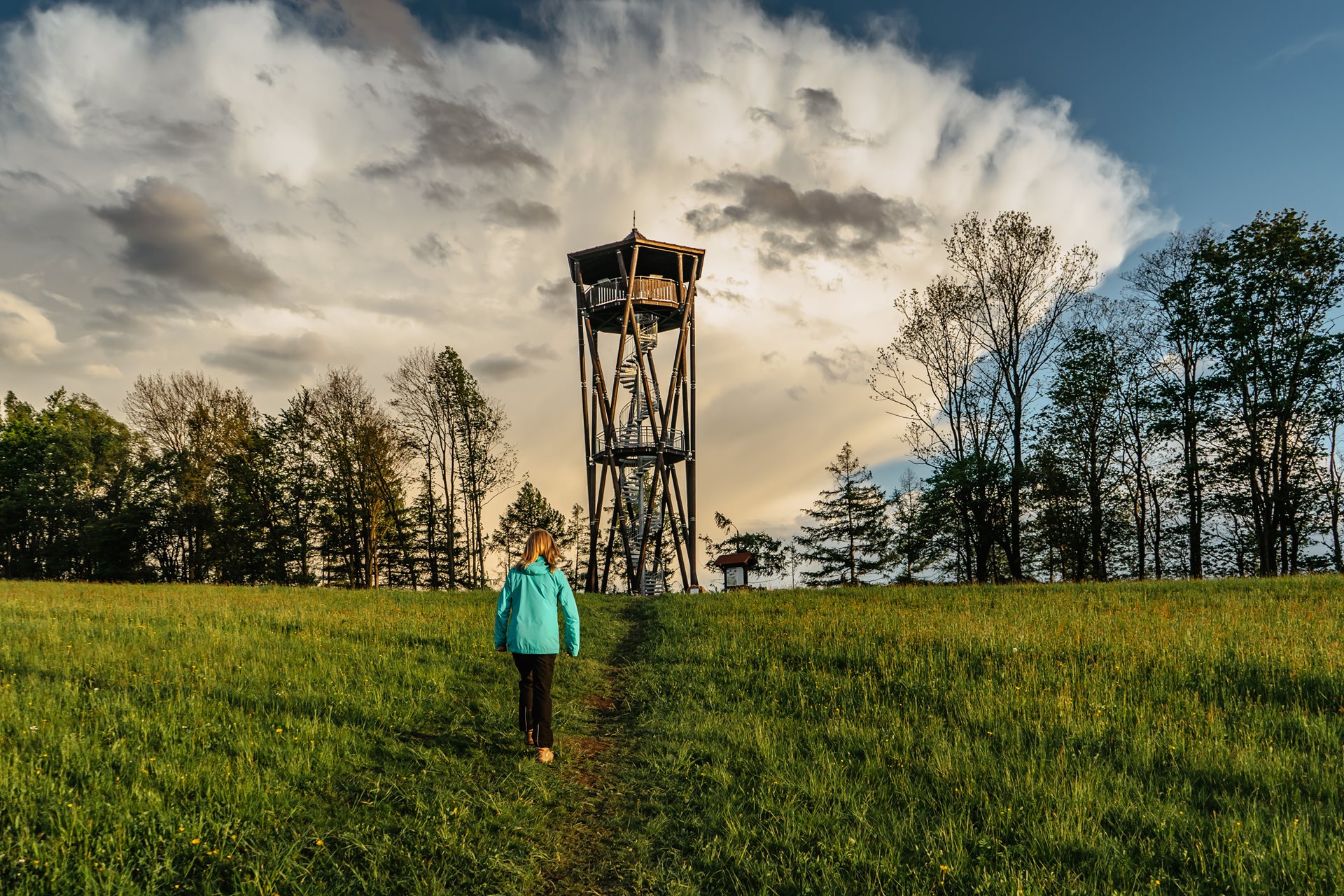
In 1888, an interest association was founded, which still operates today. It is called the Czech Tourists Club (also known as Czech Hiking Club). The association focused, and still focuses, on the development of tourism in today's Czech Republic. It planned out the routes across the countryside, built lookout towers and published the Tourist Magazine, which is still published today, under the name Turista. But the most visible activity is simply planning and maintenance of hiking trails. Today, there are a total of around 43,000 km in the Czech Republic! This means that if you walk all the routes, you will walk more kilometres than if you were to walk around the equator… The first route of the Czech Tourist Club was marked in 1889 from Štěchovice near Prague to the Svatojánské proudy streams on the Vltava River. It was recently restored, in retro style, with the original markings and replicas of the historic signposts. In 1889, a second route was created, which has the number 0001, and its oldest section leads from Beroun through the village of Svatý Jan pod Skalou to Karlštejn. The oldest routes also include the first long-distance trail through Brdy to Šumava, which was completed in 1912.
Tourist markings of today
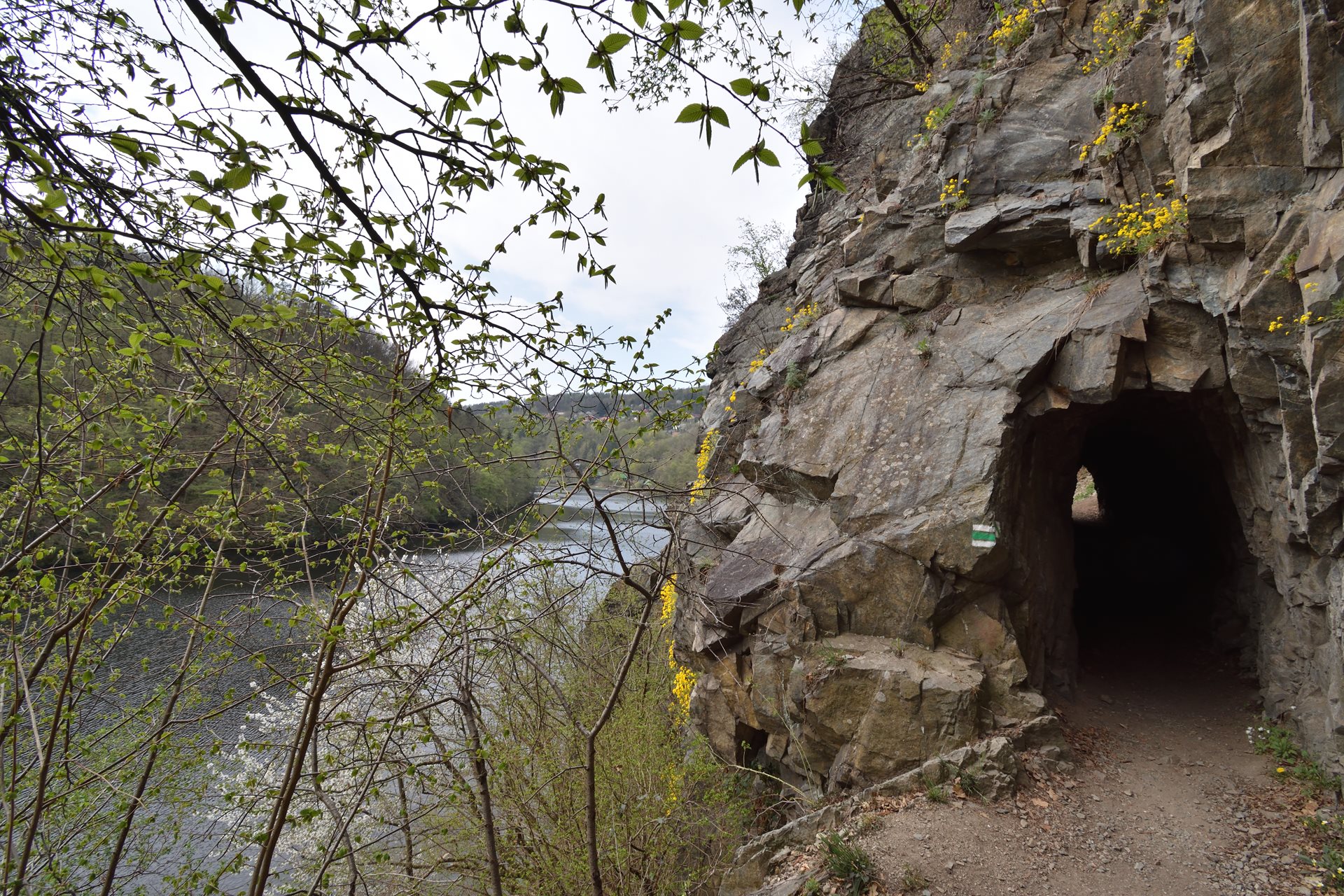
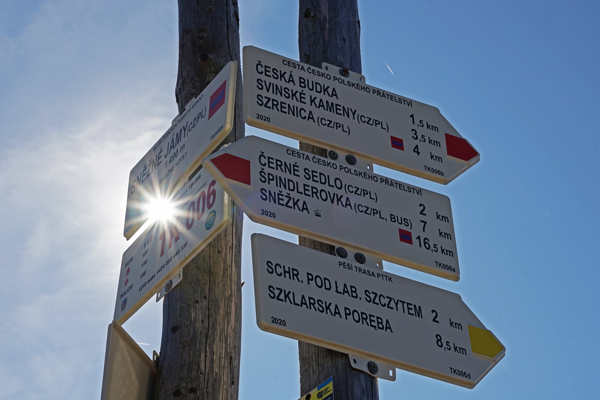
Thanks to the Czech Tourists Club, the trails are uniformly marked, regularly maintained and updated. About 400 to 500 kilometres of new trails are added annually, and 200 to 300 kilometres are removed for various reasons. The system also includes equestrian trails for horse riders and nature trails. Czech markings are simple. They have several basic colours. Long-distance or ridge trails are marked in red and are the most demanding ones. Blue markings denote major trails, green is used for local trails and yellow will guide you to shortcuts, junctions and shorter routes. At more important crossroads, in villages and at interesting localities, the markings are complemented by signposts; they contain info boards with the name of the place and information about the altitude, short informative texts and directions to other places on the routes. The distance in kilometres is then given from one signpost to another. It sounds simple, but there is a lot of planning and work behind it. Approximately 1,750 volunteers help with trail inspections and markings upkeep and restoration. Trails are checked every three years. Missing markings are restored, the vegetation around them is pruned and the passability of the roads is mapped. Sometimes it is necessary to mark new sections of trails and use trees, stones or stumps on which the markings are drawn. Thanks to the care of volunteers, you should not lose your way or wander in the long direction. The rule is that the next marking it visible from the first. Or at least they are found at every crossroad.
Nature trails in search of knowledge
You don't just have to wander through the countryside while hiking trails. You can go, for instance, on hundreds of nature trails that will show you the natural phenomenon or points of interest of the landscape. Such trails are complemented by large-format info boards with inscriptions and accompanying texts. They are mostly only in Czech, but some of them, such as in the National Parks of Šumava or Krkonoše, are also in English, German and Polish. Try to go to Šumava, for example, along the Cesta Zlatokopů (Gold Digger‘s Path) trail, which leads around the town of Sušice. You will follow in the footsteps of medieval gold mining and walk the beautiful 17 km foothills of the Šumava Mountains. Love wine? The Mezi Vinicemi nature trail (Between the Vineyards) near the town of Velké Bílovice in South Moravia will take you through the winemaking and viticultural tradition while also acquainting you with the current lifestyle of winemakers.
Long-distance trails for demanding athletes
And what about long-distance trails? There are of course traditional European long-distance trails running through the Czech Republic, such as Svatojakubská stezka (St Jacob's Trail). But even if you don't get the extreme experience as you would hiking the Alps or North America, you can still walk a few hundred kilometres here. The Modrá hřebenovka hiking trail is legendary, once said to be the longest marked hiking trail in Europe. It was established more than 100 years ago and measures over 400 km. It connects the Lusatian Mountains, Ještěd, the Giant Mountains (Krkonoše), the Broumov region, the Eagle Mountains, Kralický Sněžník and the Jeseníky Mountains. Another interesting long-distance trail is Via Czechia, a new trail connecting the easternmost and westernmost point of the Czech Republic. There is a northern and southern road, so a pleasant approximately 2,000 km awaits you on the deserted mountain peaks, because the road runs roughly around the state borders and over the peaks of all border mountains.


